
Posts Tagged ‘Sanborn Map’
Bugle Field – Home of the Baltimore Elite Giants
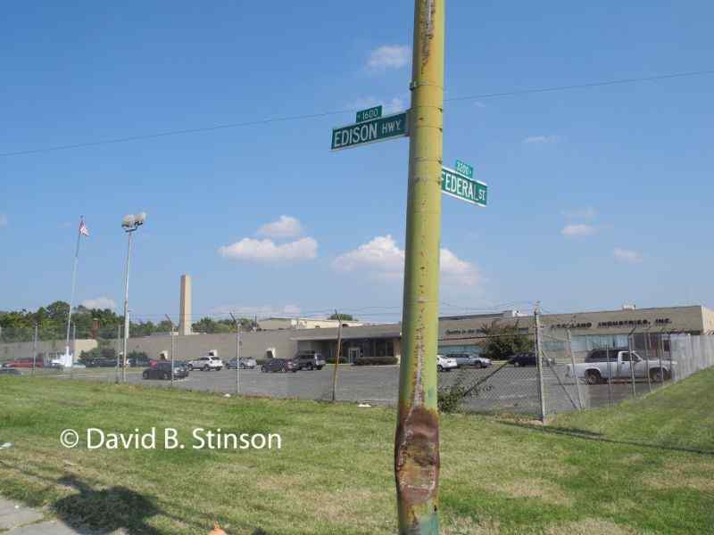
Bugle Field was located in East Baltimore at the intersection of Federal Street and Edison Highway, just a few blocks south of Baltimore Cemetery and approximately one and a half miles off I-895. In 1912, Edward C. Lastner of the Simpson and Doeller Company (a company that printed can labels), with seed money provided by…
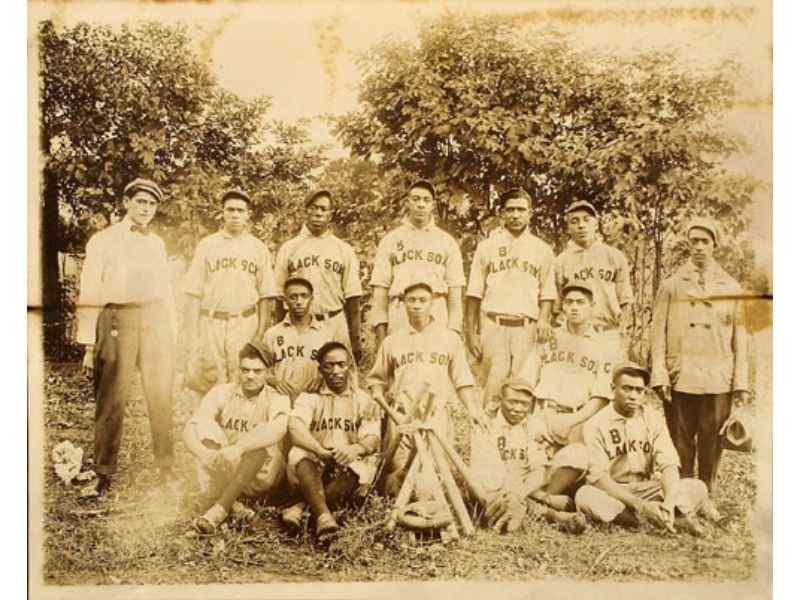
Read MoreSearching For The Baltimore Black Sox’s Lost Ballparks
Just south of Camden Yards are two historic baseball sites, the exact location of which was unknown until November 2013. The first was Maryland Baseball Park, located at the intersection of Bush Street and Russell Street, where the Baltimore Black Sox played from 1921 to 1932. The second was Westport Park, located two blocks south…
Read MoreBaltimore’s First American League Park – Original Home of the Future New York Yankees
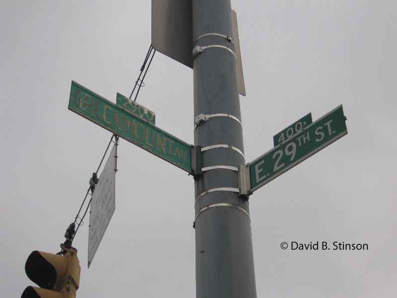
The southwest corner of East 29th Street and Greenmount Avenue in Baltimore, Maryland, is the site of two former major league baseball fields. From 1890-1891, the site held Oriole Park (II) (the second Oriole Park according to Phillip Lowry and his excellent book Green Cathedrals) and was home to the American Association Baltimore Orioles. A…
Read MoreUnion Park – Home of the World Champion National League Baltimore Orioles
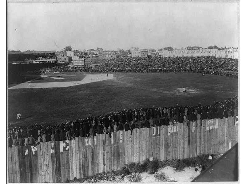
Union Park lasted as a major league venue for a mere nine seasons, from 1891 to 1899. Known also as Oriole Park (III) and the Baltimore Baseball and Exhibition Grounds, the ballpark was home of the World Champion (1894-1896) National League Baltimore Orioles. Union Park was located at the corner of East 25th Street and and what…
Read More